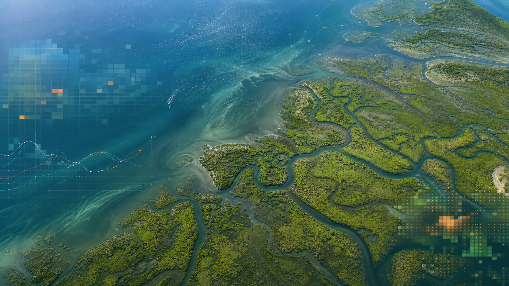
Dense satellite monitoring of tidal wetland dynamics.

Remote Sensing Scientist

Dr. Xiucheng Yang

  • Time series analysis
  • Coastal wetlands
  • GeoAI
  • Disturbance
  • Resilience

I am a remote sensing scientist who builds scalable algorithms for dense satellite image time series. My work focuses on coastal wetlands and land surface dynamics, especially disturbance, recovery, and ecosystem resilience.

Portrait of Dr. Xiucheng Yang.

2020 - 2025

Postdoctoral Associate
Department of Natural Resources & Environment, University of Connecticut
Advised by Prof. Zhe Zhu.

M.S. in Remote Sensing

Peking University, Beijing, China
Advisor: Prof. Qiming Qin.

B.S. in GIS

Sun Yat-sen University, Guangzhou, China
Advisor: Prof. Li Zhuo.